

Sites et monuments
LANDHUIS PORTOMARI
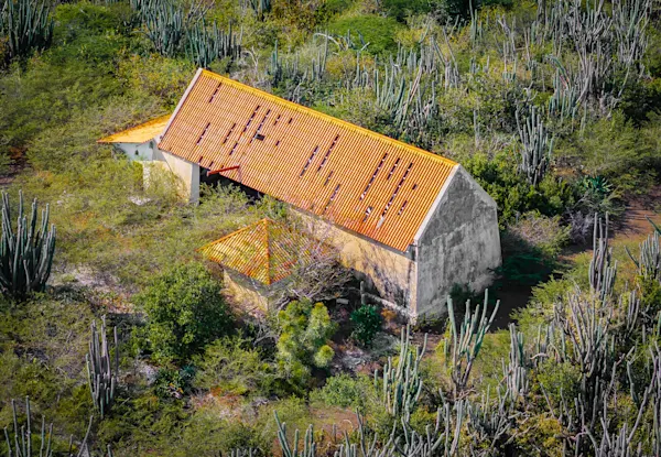
The plantation at PortoMari, which covers an area of 594 hectares, has a history that can be traced back to 1684 when the government first gave permission to raise livestock there. The land house (or country house) was built in the second half of the 18th century, but in the nineteen-thirties it was struck by lightning and burned to the ground. From the very beginning of Dutch ruling in Curaçao, the sheltered bay at PortoMari was considered to be of strategic military importance for the defense of the island and therefore a fortification was built in the 18th century on the top of Seru Caballé, a hill on the east side of the bay. Rebuilt in 1742 as Fort Porto Marie, it was equipped with ten cannons, both 12 and 18 pounders. During the British invasion of Curaçao in 1805, the fort was by no means up to strength. The English captured the Fort, threw the one only remaining cannon into the sea, plundered the powder-house and devastated the battery. Thus the curtain fell for Fort PortoMari.


